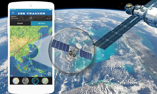
Either for get get from one point to another, discover a particular location and even plan routes, a mobile phone with internet makes a difference. For this reason, we want to show you our list of applications to see the map of your city by satellite.
Currently, smartphones can automate processes faster. Locate tourist places through a virtual map, such as bars, restaurants, gas stations, libraries, public transport terminals, are some of them features offered by apps in its free and paid version.
In addition, there are dozens of applications with offline maps that navigate with GPS without using the network, that is, without the need for Wi-Fi. A great advantage that will get you out of trouble at any time.
being abroad or in your own city it is possible to have access to various routes to go by car, on foot, bicycle, motorcycle and public transport.

TOP 3: Applications to see the map of your city by satellite
1. Maps.me
Maps With Me now known as maps.me, is a free app available for Android and iOS devices, famous among travelers who travel the world on a daily basis. It allows you to download maps of any tourist site to use later.
Works online too GPS to locate points of interest which include from places to eat, stay, hospitals, transportation stations to tourist attractions.
Between his featured features they find each other:
- Constant updating of map routes.
- It has a section to save your favorite locations and share with friends.
- Personalized itineraries.
- Traffic data to travel through 36 countries.
- Offline search and GPS navigation.
2. Here Maps
Other recognized application by local and international travelers is Here Maps. It shows regular commutes and exotic trips around the world with all the informative details. This app was developed by Nokia in 2014 for Windows and Android phones.
To use it, just create a user account, completely free, either through Facebook or with an email address.
In its drop-down menu you can obtain virtual maps of all the continents and places in the world and download specific parts of each territory. A wonder, right? From the Nokia website they recommend downloading the maps on the device using a WiFi connection.
Also, it has access to voice guidance with a step by step where it is possible to get directions while traveling by car or to park at the destination without any problem.
3.Waze
A platform compatible with Android and iOS thought for the users traveling by car specifically. It has several interactive routes in which you can see your movements in real time and visualize obstacles that are in the way.
Similarly, it allows users share road reports on accidents, police controls or any other type of danger through alerts. Without a doubt, helping the Waze community has generated thousands of users and downloads.
Also, thanks to the satellite technology, this app does not require internet, however, its developers warn that it consumes a lot of battery and the application closes automatically if you have not driven for a while.
If you want to know more about free and functional digital applications, access our category: hiex technology.
